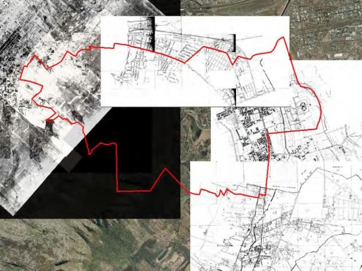
Last night David Hart of the City Council’s Environmental Resource Management Branch gave a fascinating talk on the history of Woodstock. As his presentation progressed, he peeled away the layers of our past. Old paintings, photographs, drawings and maps graphically illustrated over two hundred years of Woodstock history as the suburb grew and developed in its dramatic setting from a windswept collection of estates and farm houses to the (still windswept) suburb it is today.
By cleverly overlaying early drawings and maps from the eighteen hundreds with current map surveys, we saw first a spider web of roads, and railway lines appear, then houses, buildings, and factories grow dense between the interstices in spurts and lulls of activity, leaving the old homesteads of the three bloeme – Zonnebloem (now Zonnebloem College); Leliebloem and Roodebloem a bit overwhelmed.
Woodstock has a unique, multifaceted and dramatic history. Before the land was reclaimed from the sea in the 1950s, ships were always at the mercy of the gales which lashed Table Bay. One of his pictures, taken of the Great Storm of 1822 shows a clipper sailing ship and numerous others in the background stranded high on Woodstock beach, surrounded by flotsam and jetsam, as a few people stroll around it.
Other maps and diagrams illustrate initial attempts at racially classifying areas of the suburb, while aerial and official photographs of District 6 starkly evidence the eventual devastation at all levels which followed. His last photograph is of children running into the surf on Woodstock beach.

